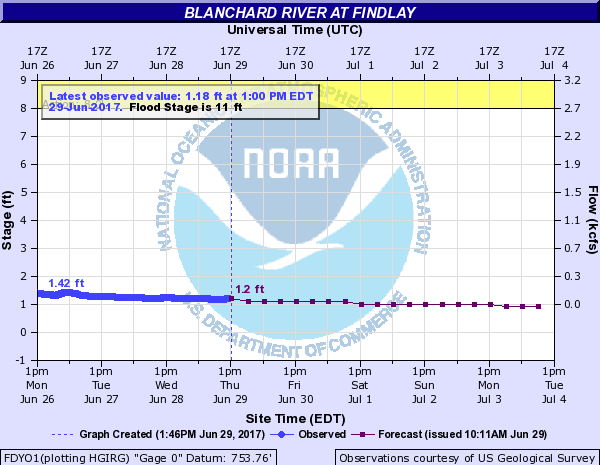
Alert – FDYO1 – Blanchard River at Findlay (Ohio)
|
Search by city or zip code. Press enter or select the go button to submit request |

|
|
NOTE: Forecasts for the Blanchard River at Findlay are issued routinely year-round.Vertical datum height surveyed by the USGS |
Flood Categories (in feet)
Historic Crests
(1) 18.50 ft on 03/13/1913 (2) 18.46 ft on 08/22/2007 (3) 17.43 ft on 06/14/1981 (4) 16.76 ft on 02/11/1959 (5) 16.50 ft on 02/07/2008 (6) 16.42 ft on 03/01/2011 (7) 16.10 ft on 01/22/1959 (8) 15.58 ft on 12/22/2013 (9) 15.42 ft on 06/02/1997 (10) 15.41 ft on 03/09/2009 Show More Historic Crests (P): Preliminary values subject to further review. Recent Crests (P): Preliminary values subject to further review. Low Water Records |
Zoom Level:16
|
|||||||||||||||
| If you notice any errors in the below information, please contact our Webmaster | |
| 19.5 | Record flooding. Flood waters top the gage well house. |
| 18.5 | High water mark of the 1913 and 2007 floods. |
| 17.5 | Major flooding will occur in downtown Findlay. Flooding can be expected from Westerfield Drive to County Road 236 along the Blanchard River. Flooding can also be expected along Eagle and Lye Creeks between State Route 15 and the Blanchard River. About three quarters of the city inundated. |
| 17 | FEMA 0.2 percent flood level. Major flooding in Findlay. |
| 16 | FEMA 1 percent flood level. Widespread evacuations needed in the City of Findlay. The highways that are impacted include U.S. 68 on the south side. |
| 15 | Several businesses impacted downtown, with many roads near the river closed. County Road 236 to State Route 568 inundated. The following streets are likely to be flooded, Main Cross Street from Western to Township Road 180, Broad Street, streets along Eagle Creek from Central to Rockside and streets along Lye Creek from Wedgewood to Strong Avenue. |
| 14.5 | Major flooding. The city is split in half by flood waters inhibiting travel in and out of the city. |
| 14 | Major flooding. As much as half the town inundated with flood waters. Several homes and businesses impacted. |
| 13.5 | Major flooding blocking Martin Luther King Parkway and Blanchard Avenue. Several other low lying roads flooded along the river. Travel in and out of the city becomes difficult. |
| 13 | Floodwaters impact East Sandusky Street, Main Cross Street, Blanchard Road, Clinton Court, and many other streets near the Blanchard River. Backwater will affect residents living along Eagle and Lye Creeks. |
| 12 | Water impacts River Street and Apple Alley on the west side of Findlay, Blanchard Street between Sandusky and Main Cross, and several streets south of Clinton Court near Riverside Park. |
| 11 | Flooding impacts areas near Riverside Park and East Main Cross Street in the City of Findlay. |
| 10 | Water reaches East Main Cross Street near Lye Creek. |
| 9 | Flooding occurs on low lying roads along the river west of Findlay, including County Road 140. |
| 8 | Water covers low lying portions of South River Road and Howard Street on the west side of Findlay. |
|
Latitude: 41.055833° N, Longitude: 83.688056° W, Horizontal Datum: NAD83/WGS84
Current/Historical Observations: |
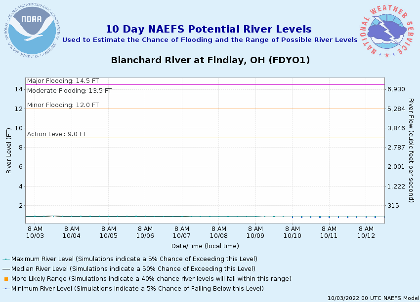
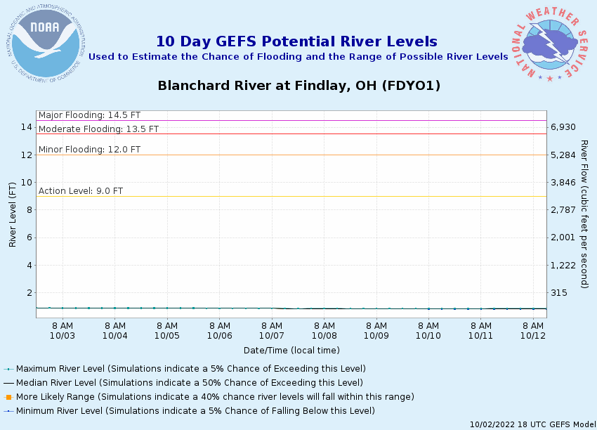
Note: Use the official hydrograph at the top of this web page for river levels within the next 48 hours. See the Product Description Document link for more details on the interpretation of the 3,7 day graphics. Click individual graphics to enlarge. |
|||||||||
|


